Sunday 28 April 2013

Weekly Walk 14 - Walk Leader Training in Selborne

Last week in Selborne, I went to walk leader training with Vicky from the Hampshire 20s and 30s walking group. I learnt how to read a map, a bit about how to use a compass, and planned a route up the famous zigzag path and around Noar Hill, before a chance to hone my new skills by getting lost.

I met Vicky in the car-park at the Selborne arms, which wasn’t yet open, so we took a stroll through the village to the Queens. We poured over a map for about an hour, where I learnt about the different types of public pathways and how to make a grid reference. I helped Vicky plan a route, then she used good old fashioned string to estimate distance at about 8 miles. She recommended I later use the OS ‘get a map’ service to devise a route card.


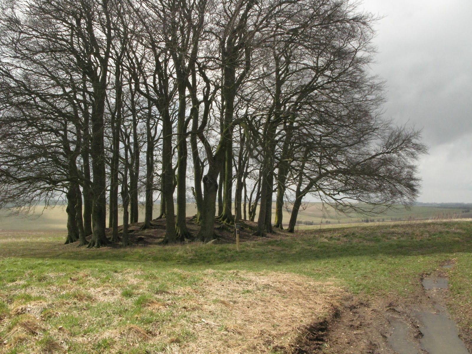
The zigzag path, built by naturalist and ornithologist Gilbert White, wound its way to the edge of Selborne Common with lovey views over the village. We picked our way through the woods to the edge of the common and down the other side before crossing a few lanes and fields.


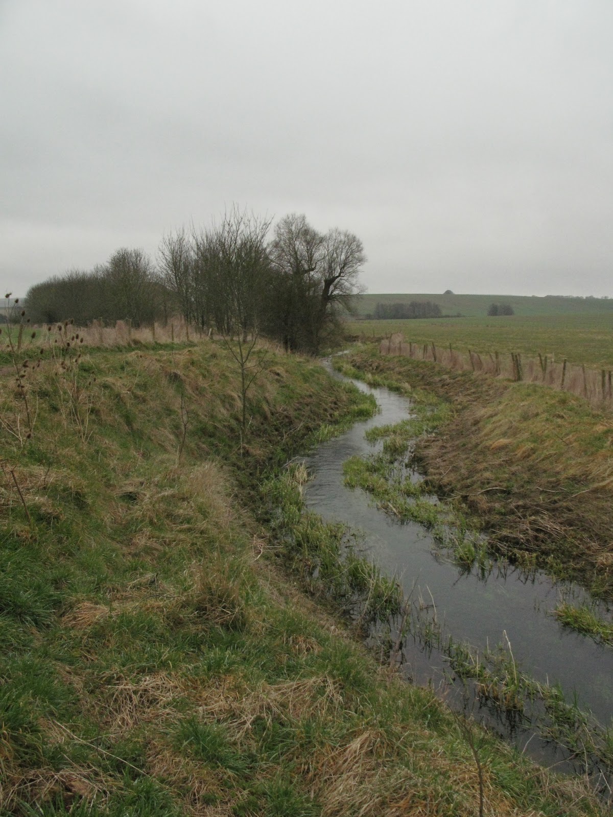
As we climbed Noar Hill, the pathways muddled together, and we ended up debating our options with a pair of walkers who also couldn’t figure it out. In the end, we found we needed to walk a bit farther to find the cross-road of paths we needed. It was a steep climb down through woods, but before long we found a picturesque house by a stream, and sat on a fallen tree to have lunch. A few grazing sheep were unlike any breed I’d seen before, but they didn’t seem to mind us.


I took the reins with the map over what must be the worst style in England; a wobbly cylindrical post over a waist high electrified fence. We took a byway down the middle of a field before a gate up a narrow byway to a road. Once we’d crossed, we took a footpath up to another road and past a large new-build house, then walked a path past a rickety, abandoned house, before a series of orchard paths. It got muddy here, and we had to delve further into the undergrowth to get around, but soon we were in a tranquil narrow valley, where I could easily imagine fairies might live.


The final stretch took us once again through orchards before finally heading up a few footpaths and back to the Selborne Arms. Vicky said she’d be happy to be a back-marker on the walk should I lead it soon, which I think I might, so if interested, keep an eye on the Hampshire 20s and 30s website for future events, which you can see here.

This event was from one of the walking groups of UK walking charity, the Ramblers.

Monday 22 April 2013

Weekly Walk 13 - Dinton Park and the Fovant Badges

Another historical walk this week on a five mile loop from Dinton Park, home of Phillipps House, a National Trust property built for politician William Wyndham, and past two picturesque Mills around the River Nader, with a view to the iconic Fovant Badges.

Dinton is an award winning village nine miles east of Salisbury, and the many beautiful stone buildings and inviting pub made this clear when I arrived. I parked at the free National Trust car park opposite the village green, and set off down Snow Hill along the main road to a footpath on the right opposite a junction. I followed the path over the railway line and along a stream to Dinton Mill.


I crossed a bridge to a track beside an open field of sheep and ducks, when a farmer arrived to feed the sheep, which I guessed as the sheep flocked around his Land Rover bleating hungrily. Before long I was in Compton Chamberlayne, home of grade I listed Chamberlayne Park House, which was huge and almost looked like a fortress behind its steely gates.


I took a steep uphill path and stopped for a quick tea break, when two ladies passed, happy to chat about the beautiful weather. To the left, I had a view across the valley to the Fovant Badges, royal badges etched into the hills similar to the famous Wiltshire chalk horses. They were quite striking, though more striking were the sheep that flocked to me as I stopped to take a picture, perhaps expecting their lunch.


I continued across an open field to a narrow passage skirting the edge of Fovant Woods, where I saw a deer dart between trees, and another two as I descended towards the road. They must be high in numbers as I’ve seen one on just about every walk I’ve taken. I walked along a minor road before a sharp right across a path to a field. I crossed the field and another road through a series of kissing gates, and finally left downhill to a stile and Mill Farm. I stopped a while at a peaceful spot beside the stream, before continuing the path along the river to the Farm.


I took a tunnel under the railway and emerged at the edge of a field, and followed it around to a batch of trees. I passed through to a field, and crossed past a barn and a few fields to a road. I crossed into Dinton Park and caught my first glimpse of Phillipps House, which could easily have been the set of a period drama, and beside the lake made a nice spot for lunch. The house is open at weekends, and perhaps would’ve made a nice end to a morning’s walk.


Research courtesy of the 50 Walks in Wiltshire Guide.

http://www.nationaltrust.org.uk/dinton-park-and-philipps-house/

Monday 15 April 2013

Weekly Walk 12 - Avebury Stone Circle


As one of the most important Stone Circles in Europe, my trip to Avebury was much more than a walk.  I admired the quaint village, Manor and stones, before a trek around the nearby area to see other connected monuments, including the remains of a religious site known as the Sanctuary, and the largest burial mound in Britain, as well as walking the initial part of the 87 mile Ridgeway Trail.

I parked at the National Trust car park in Avebury and paid five pounds for all day parking. The village was lovely with The Red Lion Thatched pub and pretty St James Church. The Central Tourist area at the Old Farmyard features Avebury Manor and Gardens, a shop and cafe, and the Alexander Keiller museum, where you can wait for a guided tour, or go off and explore the stones for yourself.


When ready to branch out further, I refuelled with a quick bit of lunch at the car, then crossed the road and through a gate to follow a path along the river. I passed Silbury Hill, a man-made structure probably once used in conjunction with ceremonies at Avebury, and eventually crossed the A4 and headed through a gate over a bridge to a field. I didn't really know what I was in for, but decided to detour up the hill to West Kennett Long Barrow.


It’s a burial mound where 36 adults and children were buried around 3,650 BC.  I didn’t realise you could go inside the barrow, which was a hair-raising experience, especially as I was on my own in its quite secluded spot. I marched down the hill and continued across two fields to a style. I walked a narrow tree-lined path before turning left down a track to a road, took a left over a bridge, then right to walk across a field to the base of another steep climb.


An awesome tree-house in a garden opposite the field

At the top of the hill I found The Sanctuary, another circle once used for religious ceremonies or death rites. The original wood structure could possibly have been replaced with stone, but now only markers remained to show where they might have been. It was interesting, but noisy due to being right next to the A4.


I crossed over to a car-park marking the start of the Ridgeway Trail, which runs between Overton Hill and Ivinghoe Beacon near Tring. I continued a short way before turning off left and walking up to an ancient monument of trees. I stood at their centre a moment to take in the silence and spiritual atmosphere, before continuing down the path to Manor Farm. The final stretch took me along a country lane, until I arrived back at the stones.


If you’re looking for a walk that combines a ton of history, or want to extend your day out at Avebury, I definitely recommend this walk as advertised in the 50 Walks in Wiltshire guide, or look for the few information signs along the route, or ask one of the guides at the National Trust information point at the car-park, who I’m sure would be able to advise you of the route.

Research courtesy of the English-Heritage and National Trust websites and the 50 Walks in Wiltshire Guide

http://www.english-heritage.org.uk/daysout/properties/the-sanctuary/

http://www.nationaltrust.org.uk/avebury/


Sunday 7 April 2013

Weekly Walk 11 - Loop of Burley in the New Forest

As the horses kicked up sand in their gallop to the crest of the hill, I was no longer in The New Forest in the South of England; perhaps a desert in the old west with John Wayne about to give chase. The heathland of this national park was particularly barren at this time of year and had an alien feel to it, but as we emerged in the quaint village of Burley, we were soon reminded of its charm.

This week I joined the Hampshire 20s and 30s at Picket Post just off the A31 in a little car-park overlooking an open expanse of heathland. It was so windy that I had to chase the carrier bag for my boots down the hill; a great start to meeting a new group. There must've been at least fifteen of us, so I quickly got to introducing myself around the group. That's the great thing about these walks with the Ramblers; you can walk and talk quite comfortably to a range of people who love the outdoors as much as you.


Flat paths with the odd slope made for a gentle walk with time to admire the famous New Forest ponies, who didn't seem to mind me stopping to take pictures. You might feel you're in total wilderness with nothing around for miles, but you can't go far without hitting a road or meeting people riding horses, cyclists, or hikers. That said, it's open enough to make me think twice about trying to navigate myself, and was glad to have a walk leader.


Lunch was had at a high-point overlooking ponies. It was so hot by this point that I'd taken off my jacket and rolled up my sleeves to catch some sun! I hadn't bought much food, but luckily we were a stones throw from our next stop at a pub in the village of Burley.


Burley is a quaint village with character. There's a witch shop and many quirky tearooms with brooms or cauldrons on their signs. According to the village website, the white witch Sybil Leek lived in the village in the 1950s until locals, scared of her black attire, led her move to America. There's even history at the pub, The Queen's Head, which was once popular with smugglers and highway men.


On the final stretch of green hills and woodland, we stopped to take pictures of the cute lambs. By the top of the hill we were back in the dusty landscape and trekked a short way back to our cars.


In some ways, it was an uneventful walk, especially as after the pub the pace ground to an amble, but it was nice to be in a totally different landscape to everywhere else I've walked in England (it actually made me miss being in New Mexico) and meet some friendly new faces.