Monday 27 May 2013

Rooksbury Mill Nature Reserve; A School Outing for Weekly Walk #18

I spent last week at Broughton Primary School on a work experience placement, and as such I didn't get away for my usual weekly walk, but I did join the children on a school outing at Rooksbury Mill Nature reserve near Andover for a short walk and some pond dipping.

Rooksbury Mill refers to the grade two listed building that straddles the River Anton. The two lakes or ponds were formed by gravel extraction to build the A303 and now the site has become home to a wide range of habitats, making for a nice area to escape daily life, go fishing, or learn about the pond.

A CSI esque mobile lab and the team from the Hi-Teck Wild-Trek Trailer greeted us and I remember thinking how I never had anything that cool when I was a child. After they'd scooped pond into their nets and examined for pond life, the children got to see their creatures in high definition on a big screen, which was really interesting as I've never, for example, seen a baby-pike or Mayfly up so close.


I'll have to come back again to enjoy the serenity of the walk, but I must admit it was interesting to stop and determine types of trees by their leaves and examine bugs in one of the fields. The reserve have worked hard to improve water quality and encourage species to thrive, and it really does make for a more beautiful walk, and is actually one of the main routes into town, giving even more of an excuse to get out and take in the aesthetic.

Information on Rooksbury Mill from the Test Valley Council website.

Read more about the Hi-Tech Wild-Trek Trailer and their wildlife discovery days, here.

Friday 17 May 2013

Horsebridge and the River Test (with a Little Railfan Surprise); Weekly Walk #17

I’m still not sure how I rate this walk. It was lovely to be by the Test on a sunny morning, with the cool smell of moisture in the air and the sound of trickling water, but unfortunately my feet didn’t like the stony paths and roads that dominated. I did however make an exciting discovery of the renovated Horsebridge station on the old Sprat and Winkle line, which might just have been this walks saving grace.

I parked at the free Test Way car park opposite the John o’Gaunt and set off left past the pub, over the bridge past Horsebridge Mill and right onto the Test Way towards Inkpen Beacon. This section was once part of the old railway, and I soon crossed a disused railway bridge over the Test. I turned left onto the Claredon Way and onto the first of many stony paths into Houghton. It was very pretty to be by the test, and I caught lots of animal snaps.


Once in Houghton, I turned left along the road before a right along a side road and up a farm track towards Broughton. The views were fantastic and it was nice to find a bench overlooking the valley to sit and have a flask of tea. For the first time in a while I had to stop to put on sun-cream, and tried not to miss the cooler, wetter, more walking friendly weather.


Before long I recognised the path from a short walk I’d previously taken in Broughton. I went down a set of steps, where my guide book informed me was a Millennium Statue by ZoĆ« Whittier, which depicted the Claredon Way. I continued left towards the village, across a bridge over the ford, and up along a lane called The Hollow.


I was glad to once again be on soft soil and turned left along a byway at a junction of paths. I continued across the field into trees and climbed steadily up towards a lane, but not before taking a snap of bluebells. I turn left then right down a no-access road all the way past farm buildings and onto a bridleway, where I found an amazing wood filled with more bluebells.


I was nervous about continuing as the bridleway cut through the middle of a dairy cattle unit where a farmer was shovelling something smelly in his tractor, and I couldn’t see any way markers to indicate access. I chanced it, and emerged without harm and continued the bridle way to yet another road. This relatively short section took me to a gravel track between fields and down to a private fishing area, where lots of fishermen were making the most of the trout fishing season. I crossed the Test twice, then emerged into a field and cut across diagonally left to a style.


I read in the guidebook about the old Horsebridge station, and caught a glimpse of it from the final footpath. It looked amazing, so when I emerged at the car-park, I cut back towards the station to investigate. It turns out, it’s on private land and has been renovated and set-up as a tea room on select days throughout the summer. It was really well done and captured a Victorian station feeling, and even had an old carriage on the tracks. So despite my sore feet by the walks end, I did enjoy it, and shall definitely be back to enjoy a cream tea.


For this walk, I used the Hampshire and New Forest pathfinder guide, which was really easy to use, and features a snippet of an OS map for each walk for ease of navigation. 

You can read more about the Test Way, here.


Saturday 11 May 2013

The Bluebells are Out! Weekly Walk #16

I love this time of year when the bluebells are out, and thankfully, so does Mark of the Hampshire 20s and 30s who today led a walk in and around Farley Mount Country Park, a few miles outside of Winchester, Hampshire. We ventured into ancient woodland and soaked up the mystical atmosphere, before getting a little wet, and drying out at the pub.

I got lost through Kings Somborne, but it was a fun drive down the narrow lane to the two free car-parks at Farley Mount. After a slight delay for those who also got lost, we set off uphill towards the monument, where beneath lies a horse aptly named, ‘Beware Chalk Pit’ after it fell into a chalk pit a year before it famously won a race in 1734. It gave spectacular views, and is unsurprisingly one of the highest points in Hampshire.


We continued uphill before descending a narrow path at the edge of woodland overlooking a manor house and a splashing of lovely yellow oilseed rape across the hills. The path led through a field to a road, where we took a left uphill through dense woodland.  We took a short-cut through trees to get around a muddy patch, and caught our first bluebell snaps, and a glimpse at another monument to four German airmen.


Four German airmen, now named on the plaque below the engraving

I did my best to be sociable and spoke to most of the members, who were lovely, and as such I only remember snippets of the rest of the walk, but noticeably we emerged on a path through fields past a sprinkling of bluebells, before we hit the bluebell Mecca; a track running through ancient woodland, with bluebells all around us. As one member joked, it’s where unicorns are hiding, and I think possibly a host of fairies too. We stopped for a few minutes to let others catch up, when the cameras and phones came out to capture the beauty around us. And that’s when it started to rain.


It was light, so we chanced it and left the woodland towards our lunch stop by a field, when it got heavier. Luckily, there were a few trees to hide under. Some members had waterproof trousers, which I was gutted to be without, but thankfully I had packed a warming flask of tea. Then, as we set off, the rain subsided to a refreshing drizzle.

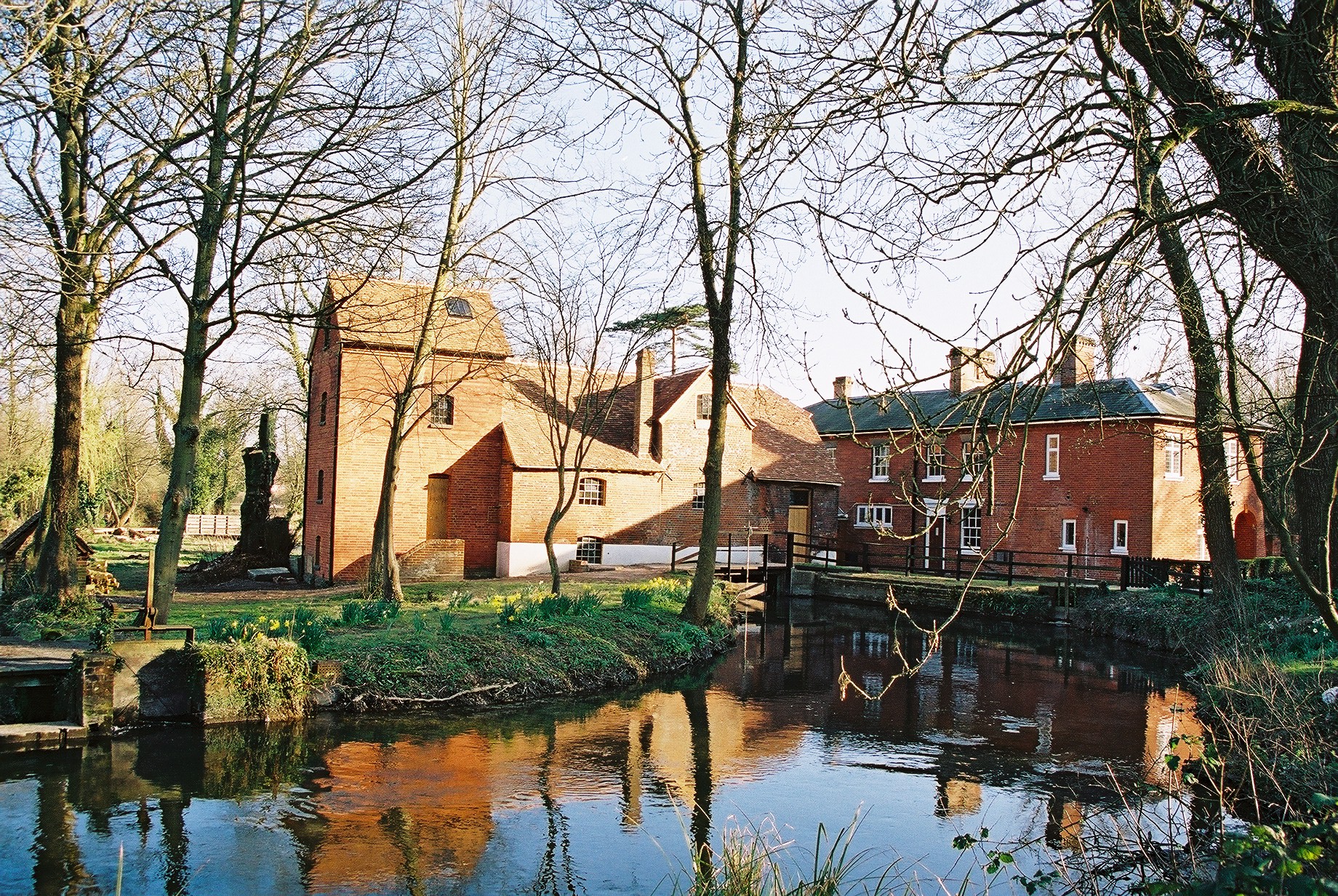
The path led through a farm past an old church to a road, which we followed until a junction, where we turned left and past a lovely farm cottage with a barn conversion. We followed a path up between fields, until eventually we reached a road and crossed over to a field, past cows whose horns made them look like grazing mammoths, and back to the cars.


Our final adventure involved a convoy of cars down narrow lanes to drinks at the Bridge Inn in Shawford, where our group of tired walkers consumed sugar and caffeine, and had lots of laughs and a good chat about what for me was one of my favourite walks of recent months. If you like the sound of this walk, check out the Hampshire 20s and 30s website for details of upcoming events. 

Research courtesy of the Hampshire Council website.

Sunday 5 May 2013

The Animals of Figsbury Ring; Weekly Walk #15


After I excitedly bought a host of maps of my nearby area, I planned my first route along parts of the Monarch’s way from Figsbury ring, an Iron Age hill fort in Wiltshire. I passed through the Winterbournes down to the village of Ford, before a treacherous crossing of the A30 along a section of Roman road and back to the car-park, learning a few things about what makes a good route.

I parked at the free National Trust car-park at Figsbury Ring, and walked the ring to the North West corner and along a footpath forming part of the Monarch’s Way. I descended steeply, then passed under a railway bridge into the Winterbournes.


I decided to cut through the village, planning a shorter walk, but gave in to temptation and extended the route along a footpath. I had the experience of once again having a herd of animals flock towards me, before heading into a thick bog. I should’ve guessed from the faded sign and over-grown bushes that this path was rarely used, but continued regardless into thick mud. Next time I’ll follow the Monarch’s Way to the point where I came out.


I washed my boots in a nearby ford, and then continued the footpath across fields to a bridleway, and saw a few people paraponting, a prop-plane circling, and an ultralight flying, all presumably coming from the nearby airfield at Boscombe Down. I extended the walk on a bridle-way to Ford (an actual village this time) and met a friendly pony as I passed his field. I followed the road over a bridge and through the village, then followed the signpost to a footpath, which strangely began after a private drive-way, so I skipped through quickly!


I followed the path to a B-road, and then continued along a footpath through a field and back to the Winterbournes. I counted on the map-marked pub being open, but found it boarded up, another reason to walk a route on your own before taking others. I exited the village across the A338 and took a bridle-way up past a pig farm. I then ascended steeply up to the A30, which took a while to cross as the traffic never seemed to end, but finally managed to cross to a stile and a Roman road.


I continued the Roman road over another B-road up to a spectacular view over Laverstock and Salisbury. I finally took a bridleway back to the Monarch’s Way, down a footpath, and over another section of the A30, before heading back up a field to the start at Figsbury Ring.


I was proud to have plotted my first route, but would next time think about walking it in reverse. This way, you get the busy A30 out the way first, and end on a pub, which when you combine the free car-park with a national trust site and great views, makes this a really great walk, and even more fantastic as it’s only a five minute drive from my house.